- English
- 한국어
Languages:
This site is created using Wikimapia data. Wikimapia is an open-content collaborative map project contributed by volunteers around the world. It contains information about 32071486 places and counting.
Learn more about Wikimapia and cityguides.
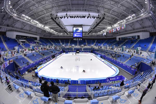
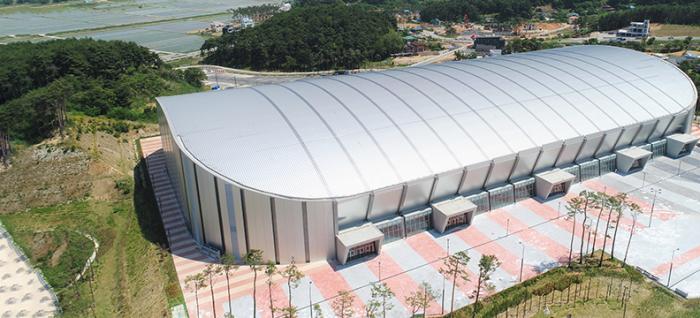
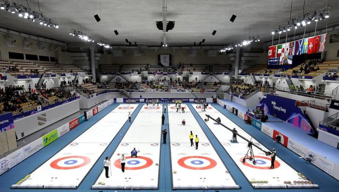
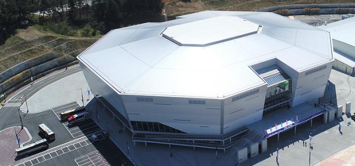
Gangneung
City on the Namdechun river.
Wikipedia article: http://en.wikipedia.org/wiki/Gangneung
Gangneung on the map.